Berlin
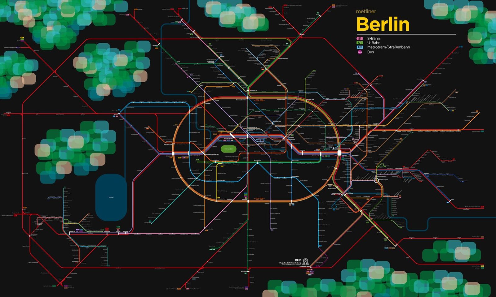
Berlin got its first U-Bahn line in 1902, running from Stralauer Thor to Zoologischer Garten, mostly on elevated track. In the century since, the network has changed along with the city's history. While Berlin was divided from 1961 to 1989, West Berlin trains passed through stations under East Berlin without stopping. These became known as ghost stations, and only Friedrichstrasse, a border crossing, let passengers off. In December 2020 the U5 was joined to the formerly isolated U55, so riders can now travel from Honow in the east all the way to Berlin Hauptbahnhof.